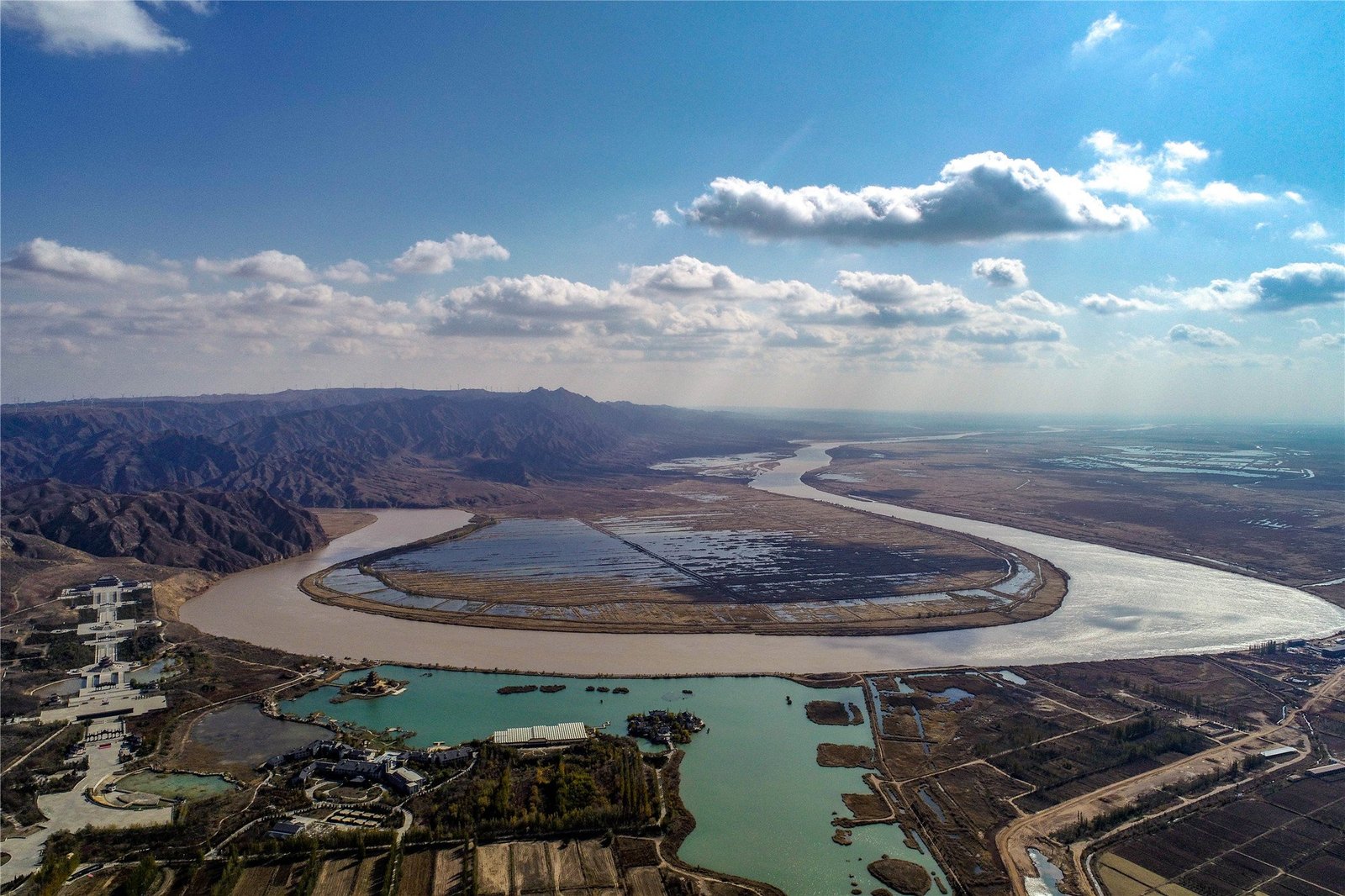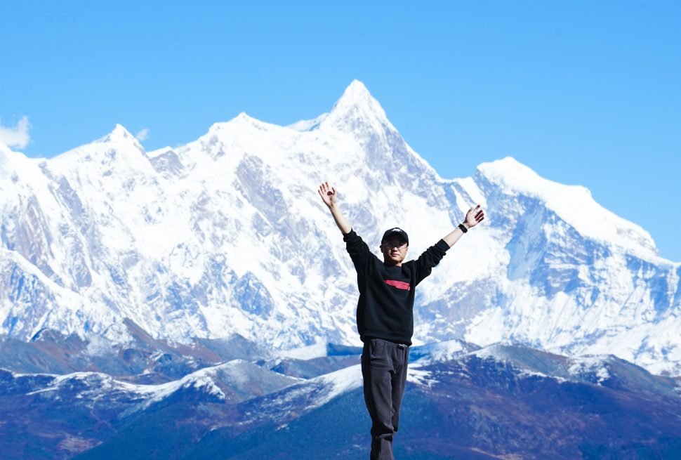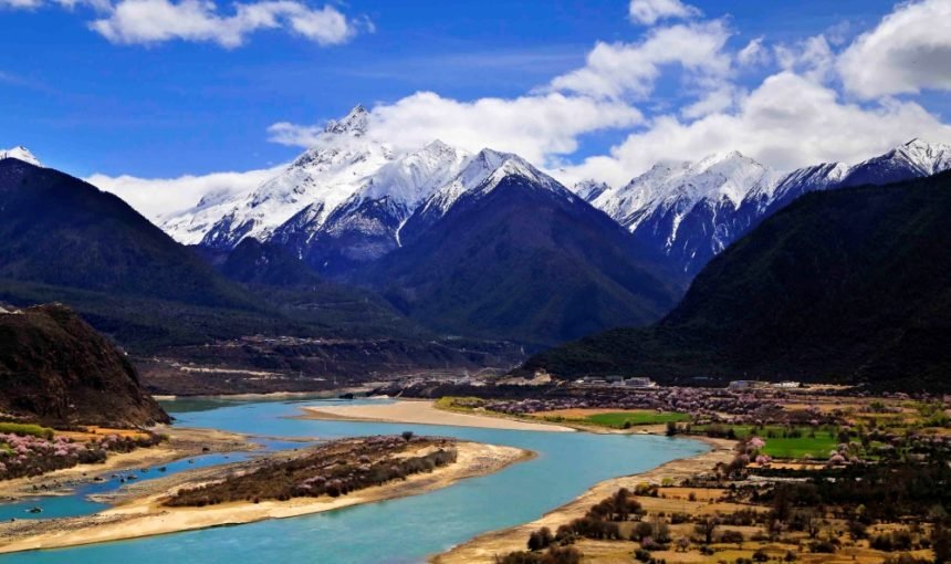
The Qinghai-Tibet Plateau is truly a great plateau. Look up at the numerous snow-capped mountains with untouchable peaks connected with white clouds, blue sky and sunshine. Her snow-capped mountains have formed a number of rivers, flowing to the distance day and night, snuggling up to the great feelings of the Qinghai-Tibet Plateau, like a mother’s milk, feeding human survival and breeding. The thought of these rivers thousands of kilometers away, irrigating farmland, dyeing the world green, the heart will be indescribably moved.
Yarlung Tsangpo River (The Brahmaputra River)
The Yarlung Zangbo River is the largest river in Tibet and the highest river in China. The river, located in the Tibet Autonomous Region, is second only to the Yangtze River in China in terms of hydropower reserves. As the largest water system in Tibet, the Yarlung Zangbo River is regarded as the “Mother River” by Tibetan friends. Eventually, the river flows into India and becomes the Brahmaputra River.
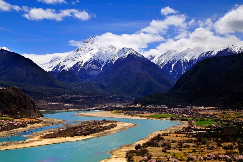
Lancang River (The Mekong River)
The Lancang River is the name of the upper reaches of the Mekong River in China. It originates at the northern foot of the Tanggula Mountains in Qinghai Province and flows through China and Yunnan into Laos and Thailand to become the Mekong River. This river is in the eastern part of the river, with a drainage area of 168,000 square kilometers, which is the third largest river in the river. In Tibetan, it is called “Rachu”, which means “Roe River”. The Lancang River is not only the longest river in southwest China, but also the seventh longest river in the world, the third longest river in Asia and the first longest river in Southeast Asia.

Nu Jiang(The Salween River)
The Nu River is a major river in eastern Tibet, with a drainage area of 137,000 square kilometers, making it the second largest river in Tibet. It originates from the southern foot of the Jizegpa Peak in the Tanggula Mountains, flows through eastern Tibet, enters Yunnan Province, and is renamed the Salween River in Myanmar, and finally empies into the Andaman Sea in the Indian Ocean. In Tibet, the Nujiang River runs deep into the Tibetan Plateau, from the first bay of the Nujiang River to the southeast through the flat shallow valley in eastern Tibet.
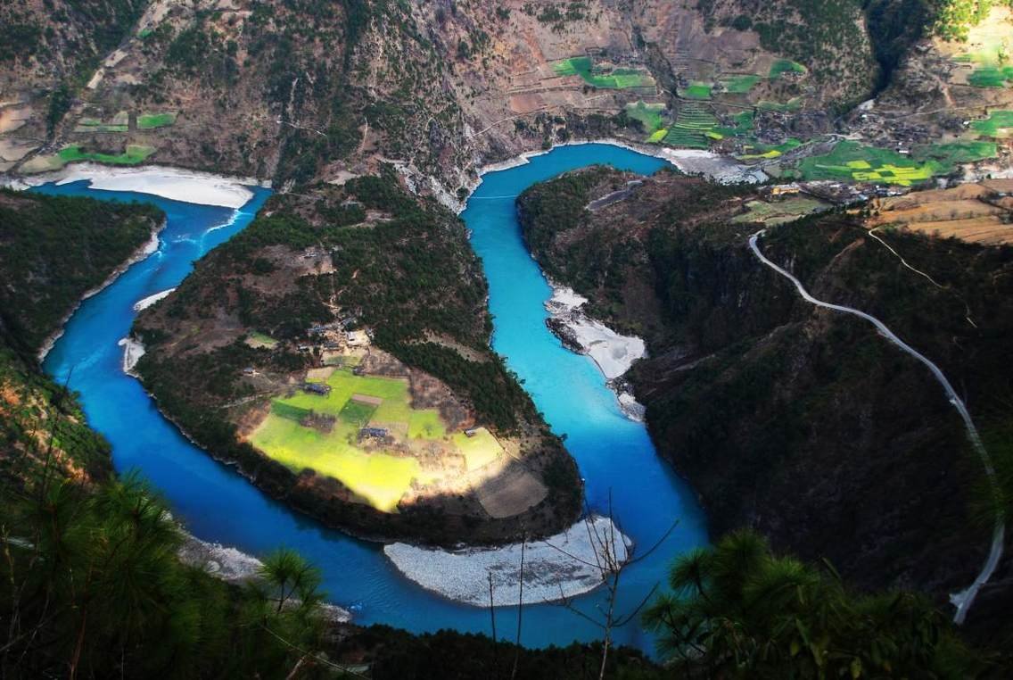
Shiquan He ( The Indus River)
Shiquan River is the upper reaches of the Indus River, rising from a glacial lake north of Mount Kailash, the main peak of Mount Gangdise. In Chinese, it is transliterated as Senge Zangpo, which translates as Shiquan River or Shikou River. The river flows from southeast to northwest, and at its confluence with its largest tributary, the Karzangpo, forms the town of Karr, the political center and tourist hub of the Ngari region. When the Lion Springs River flows into South Asia, it becomes the longest river in South Asia, the Indus River.
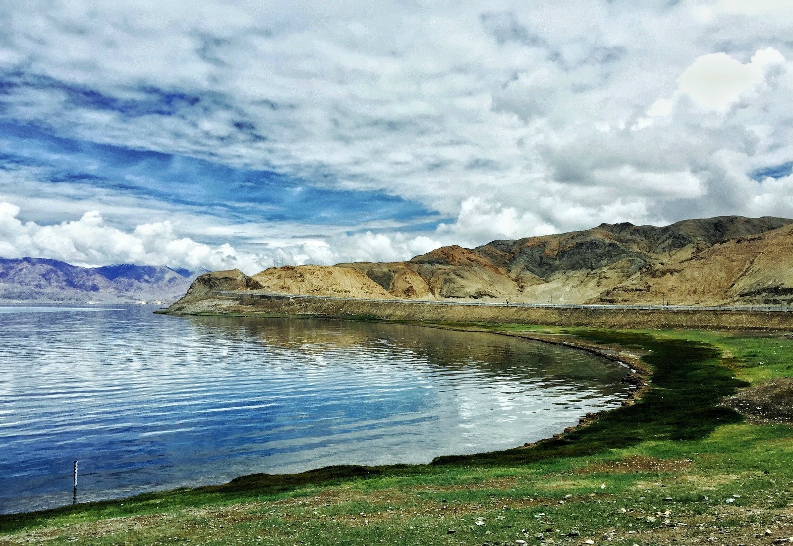
The Irrawaddy River
The Irrawaddy River originates from the Tibetan Plateau of China in Zhaoxing County, Nyingchi City, Tibet. After passing through Yunnan Province, the river continues through Myanmar and slightly through India. It runs from north to south through central Myanmar before emptying into the Indian Ocean. In Yunnan Province, China, this river is known as the Dulong River, and historically, it has also been called the Great Jinsha River and Lishui River. The total length of the Irrawaddy River is 2,714 km, of which 2,170 km is in Myanmar. It is the largest river and mother river of Myanmar, and one of the important rivers of Indochina Peninsula, with a drainage area of 430,000 square kilometers.
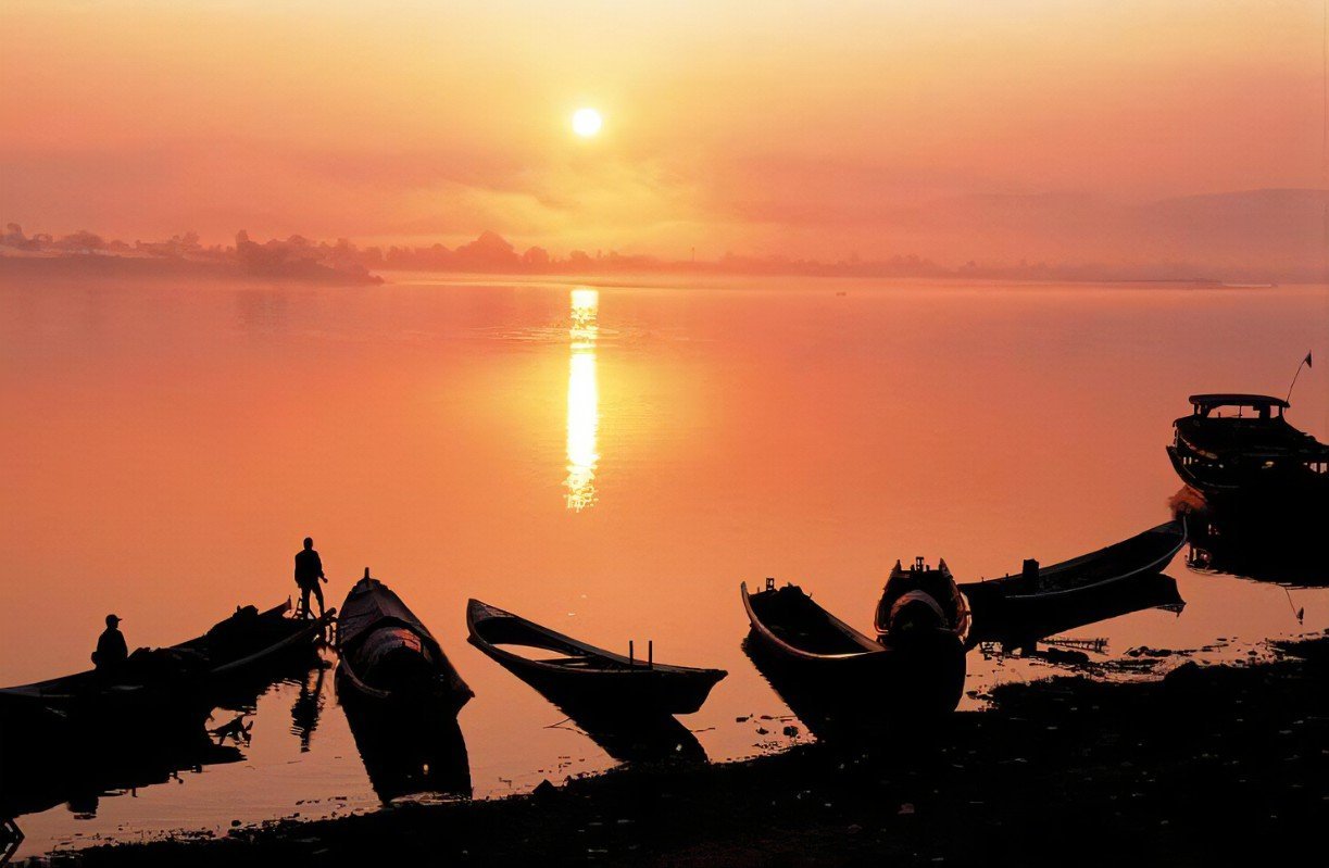
The Yellow River
The Yellow River is the second longest river in China and the sixth longest river in the world. It is no less influential than the Yangtze River. The source of the Yellow River is the Bayan Khar Mountain Range (4,600 meters above sea level), located on the eastern edge of the Tibetan Plateau. The river is called the Yellow River because it carries a large amount of yellow sediment from the Loess Plateau on its way across the country.